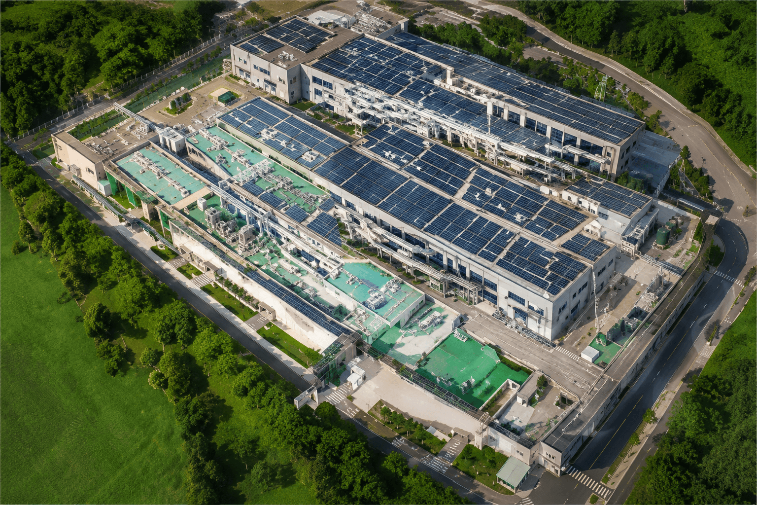
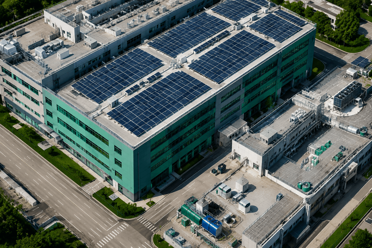
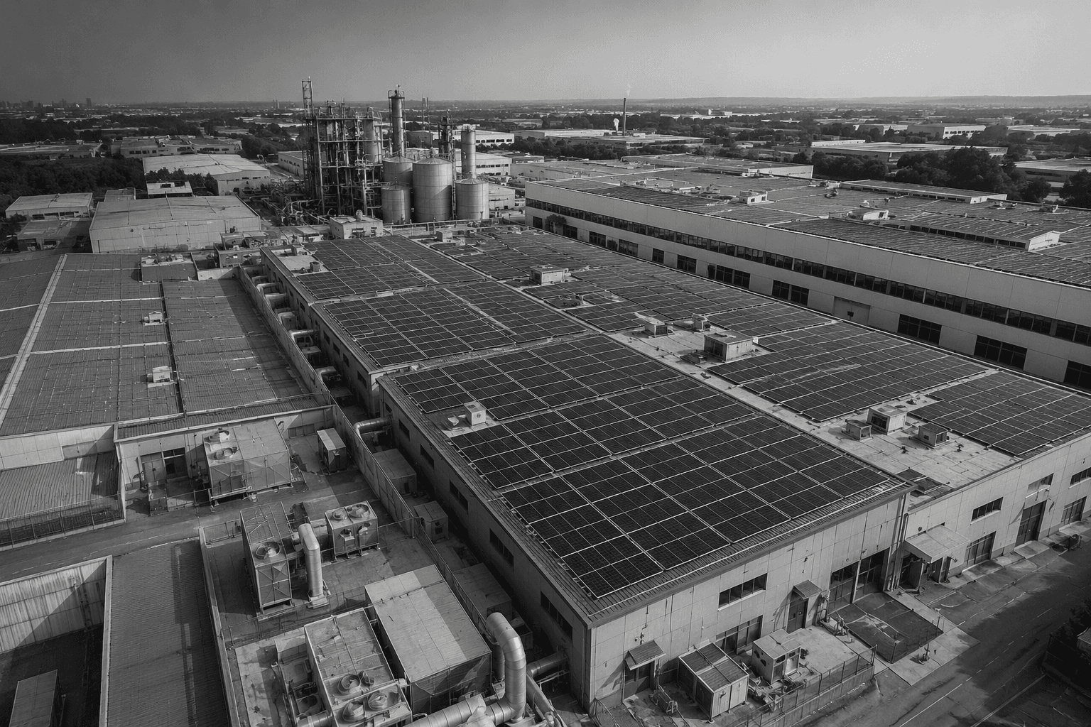
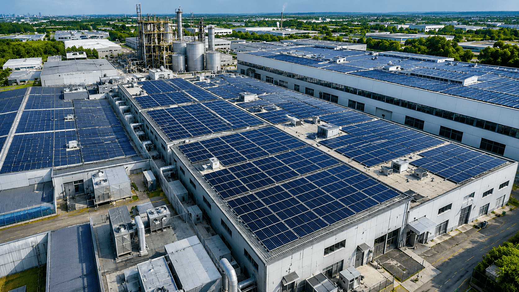
Aerial Site Mapping
High-resolution orthomosaic mapping of industrial facilities and project sites.

Precision aerial mapping, thermal inspections, and engineering intelligence for smarter project execution.
Industrial solar projects often lose time and money due to inaccurate site data. Drone-based engineering helps teams plan better, reduce risk and execute projects with confidence.
High-resolution orthomosaic mapping of industrial facilities and project sites.
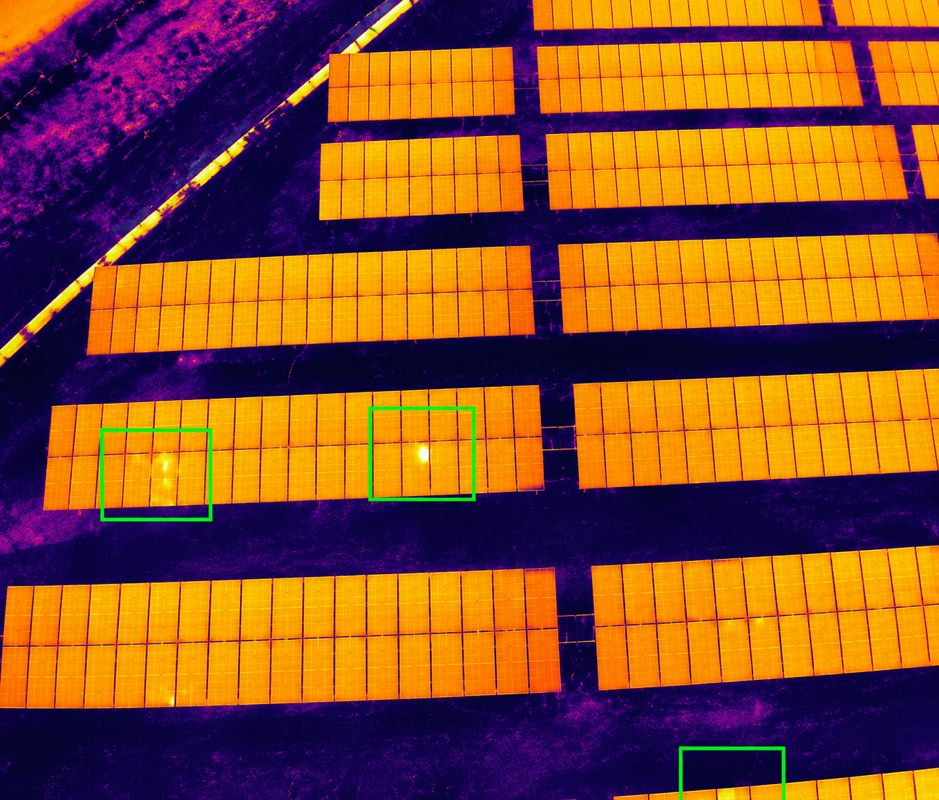
Identify hotspots, defective modules, loose connections and performance losses.
Generate accurate terrain and asset models for engineering and planning.
Roof measurements, shadow analysis, obstruction mapping and structural assessments.
Drone surveys can capture highly accurate site data when planned with RTK mapping, calibrated flight paths and engineering review.
Yes. Thermal inspections can help identify hotspots, defective modules and performance issues that may not be visible from ground level.
Survey duration depends on site size and scope, but drone-based capture is typically much faster than manual measurement.
Yes. We provide thermal reports with observations, image evidence and actionable engineering recommendations.
Yes. Drone surveys are useful for both new project planning and inspection of existing solar or industrial energy assets.

Get accurate site intelligence before investing in solar, BESS or energy infrastructure.